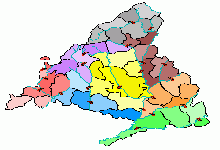
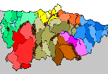
 ✕ 🗺 Regions · Madrid CountyThe Community of Madrid, covering 8,028 square kilometers and home to more than 6.7 million inhabitants, concentrates in its capital one of Europe´s most populous metropolitan areas and the political and economic center of Spain. The Manzanares River crosses the region from north to south, and areas such as El Pardo, Casa de Campo, and the northwestern mountain ranges are susceptible to wildfires in summer, while the Jarama corridor and the plains along the Tagus present a significant flood risk, with 375 areas classified by the Tagus River Basin Authority. Madrid´s Municipal Territorial Emergency Plan (PENAM) identifies critical points for earthquakes, fires, floods, and large gatherings, while the INUNCAM protocol is activated each autumn for the rainy season. On this Risk map, the metropolitan ring around Madrid is the central hub with the highest density of territories, and controlling the municipalities in the southern and eastern surroundings gives you a logistical advantage for projecting force toward Toledo, Guadalajara, and Cuenca. The northern mountains (Guadarrama and Somosierra) act as a natural border toward Segovia and Ávila, while the Henares corridor is an obligatory route toward Aragon and the Mediterranean. ⚔ Your next conquest starts hereLog in with your account or sign up for free to play on this map and over 100 more Play nowI don´t have an account yet, I want to sign up✕ |